Browse

···
Log in / Register
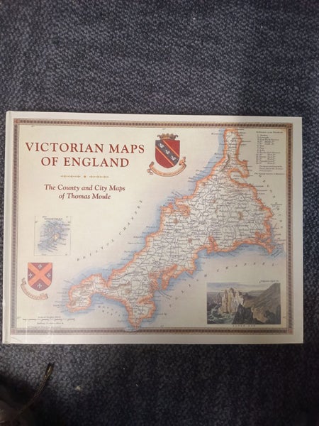
Victorian Maps of England: County and City Maps of Thomas Moule by Thomas Moule This book is USED (not new) Condition: - Format: Publisher: Batsford : , 2018, ISBN: 9781849944977 / 1849944970 Dimensions: 31.75cm x 1.93cm x 40.64cm, 144 pages SKU: 5519c - We use NZ Post overnight for delivery so please allow 1-5 days for delivery - If you would like to see more photos of the book, ask a question and we'll add them Book Description: A high-quality, large-format collection of mid-nineteenth-century maps from one of Britain's great cartographers, Thomas Moule. For the first time in a generation, Thomas Moule's maps of the mid-nineteenth century are gathered together and beautifully reproduced in a large-format volume. These 60 fascinating, decorative, and hugely informative maps capture England's counties and key cities at a time when the Industrial Revolution and burgeoning railways were transforming the country. Even as Moule provided a minutely detailed record of these changes, he also celebrated the past through pastoral or monument views that are framed with the cartouches, festoons, and architectural ornament common during this period. Along with contemporary descriptions and extracts, the book explores Moule's career as a mapmaker and positions him alongside fellow Victorian pioneers including Brunel, Wedgewood, Bradshaw, Turner, Pugin, Blake, Scott, and Wordsworth.